Crossing Bhutan from West to East
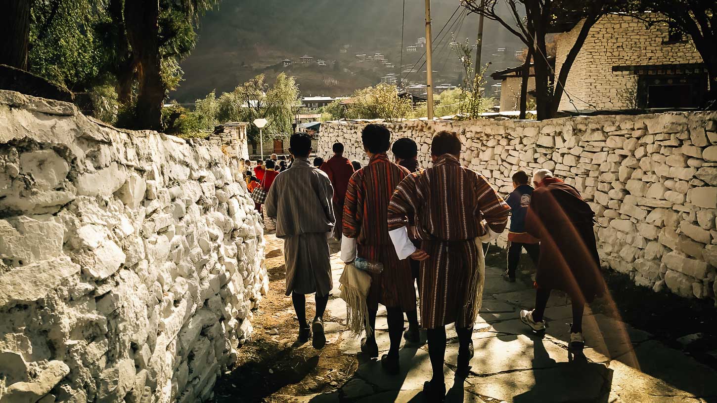
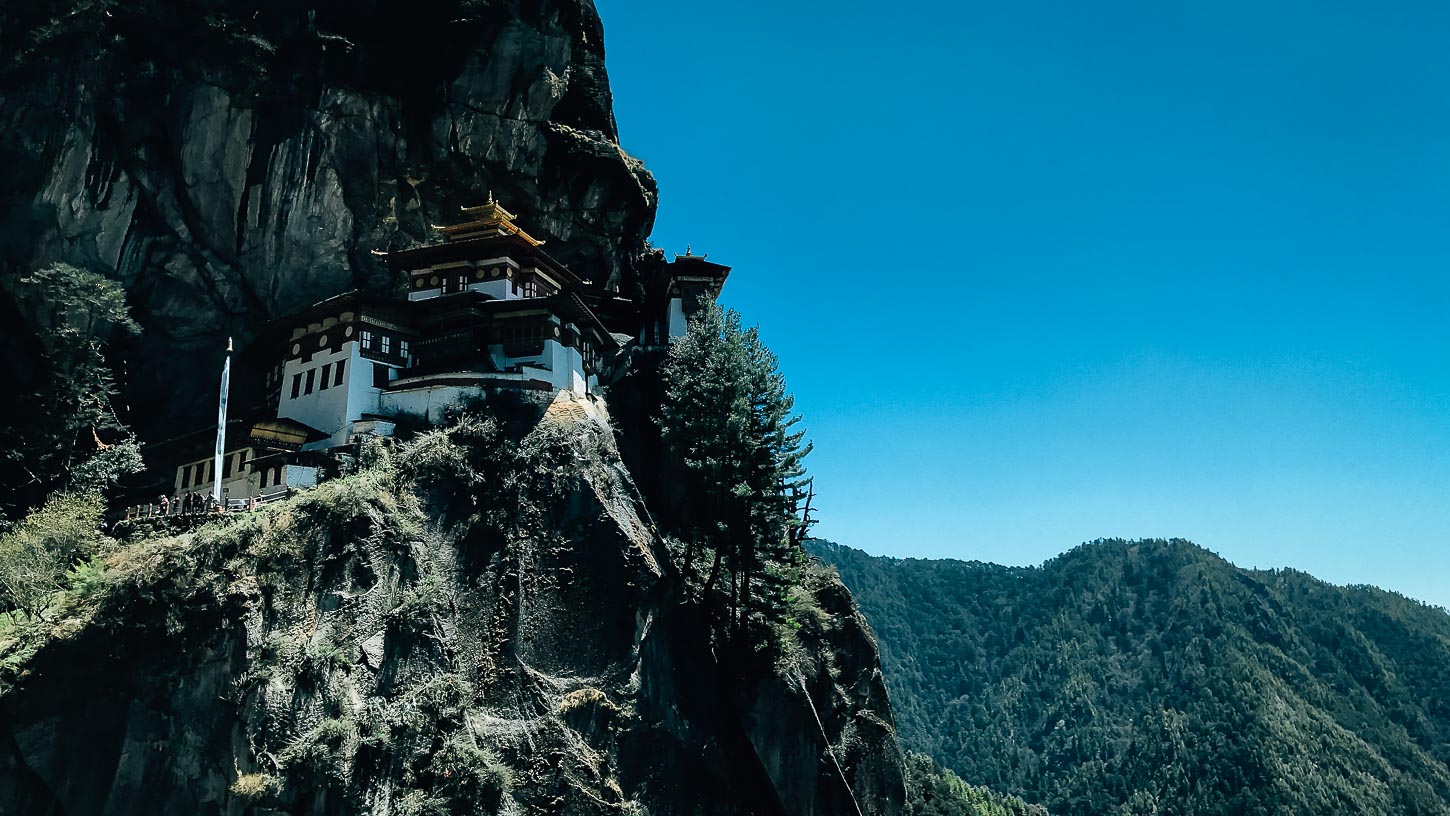
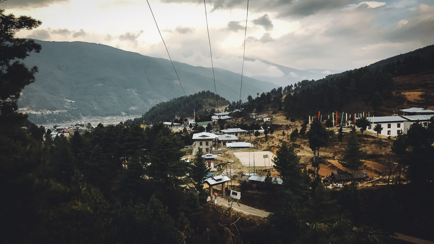
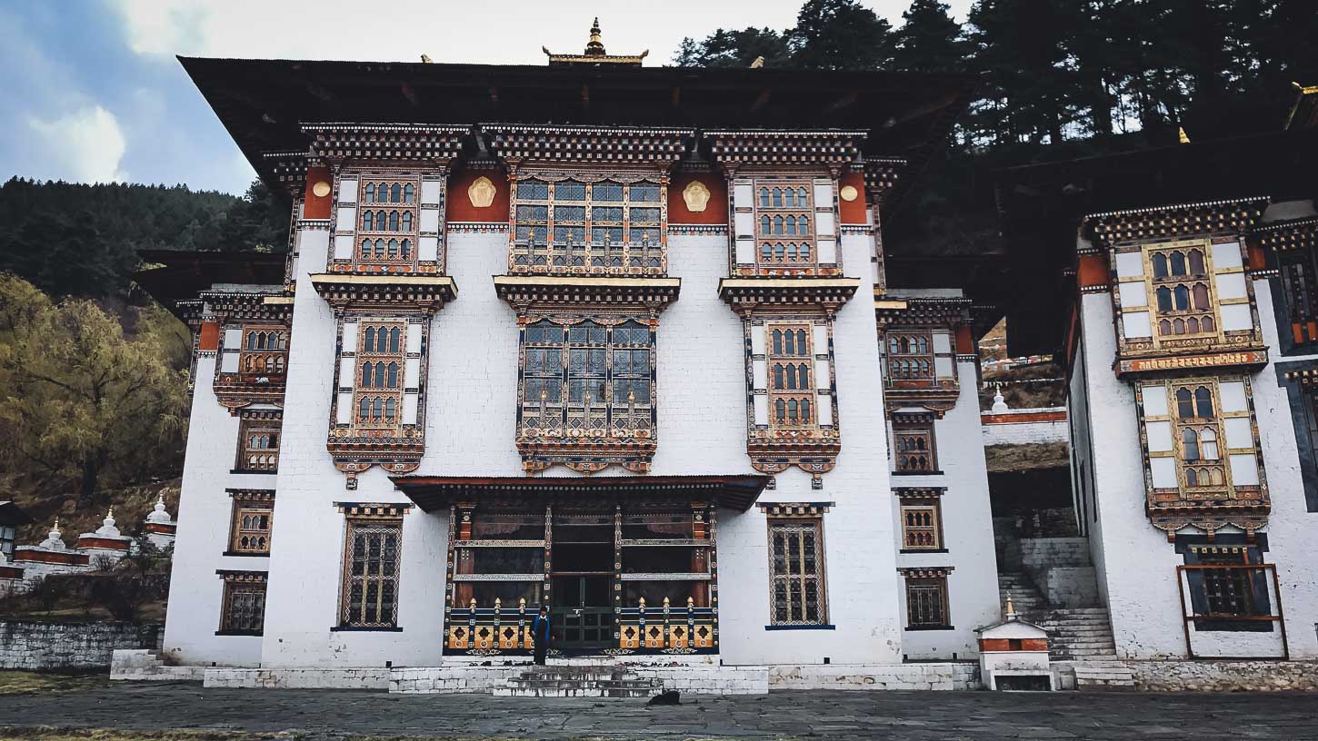
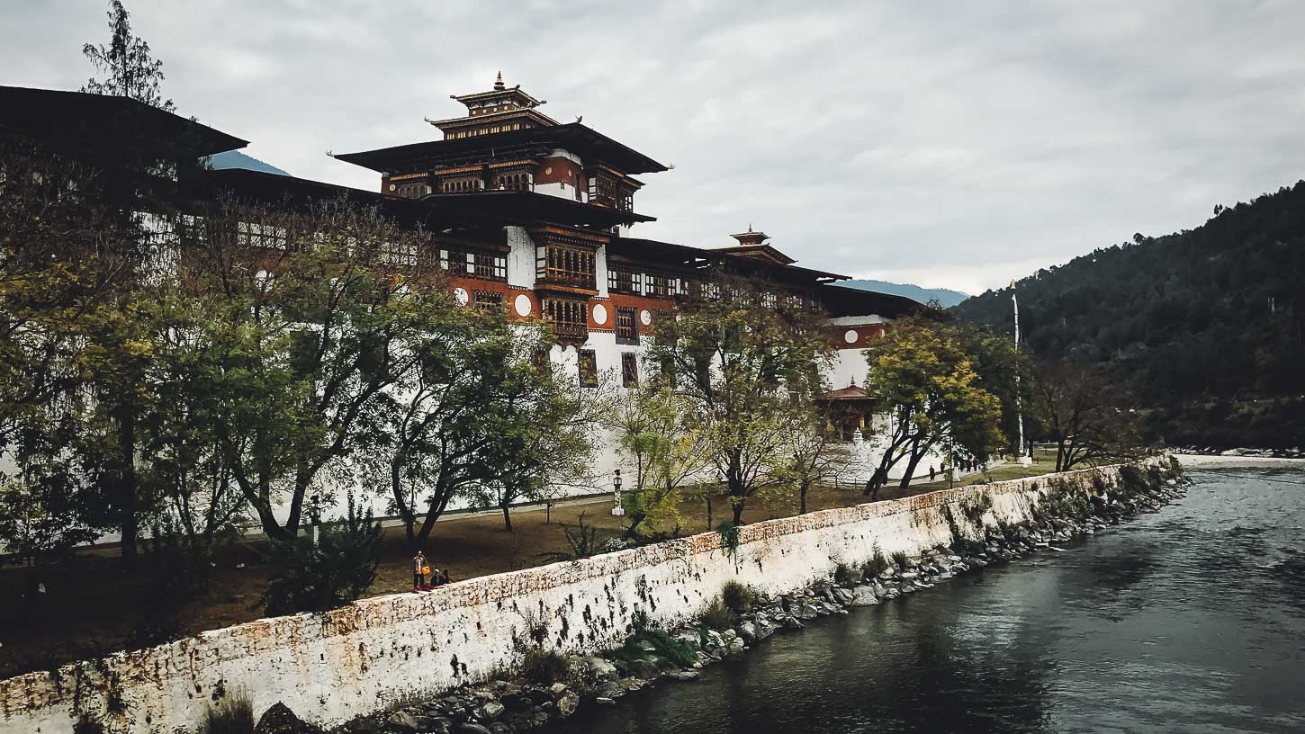
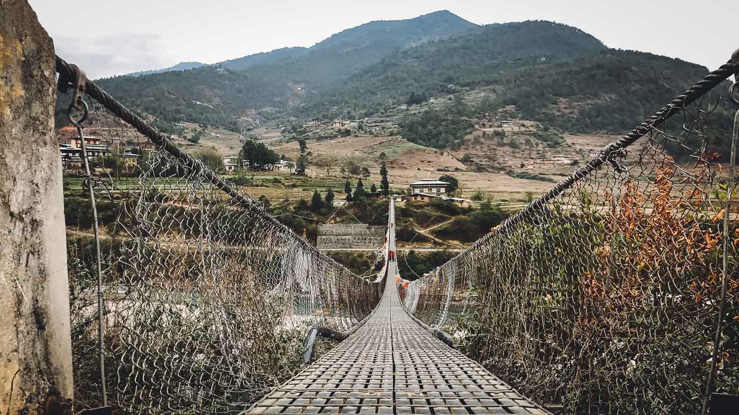
fromIn this trip, you will be crossing Bhutan from the West to the East. We will enter Paro in the West via plane and exit by land in the east to Guwahati. In this crossing, we will not only discover the classic areas of Paro, Thimphu and Punakha, but also those of the East such as Gangtey, Trongsa, the valleys of Bumthang, Mongar and Tashigang. In crossing Bhutan from the West to the East, you will also see exotic monasteries and majestic temples. There are so many places to visits and so many things to see that you will never retrace your steps.
It is also possible to go to Sikkim before Bhutan, via land through the Phuntsoling station. Extension at the end of the course in the region of Merak and Sakteng can also be done.
- Reviews 0 Reviews0/5
- Vacation Style Holiday Type
- Bhutan
- Culture
- Road Trip
- Secret Planet
-
- Activity Level Fairly Easy
- Group Size Small Group
In this trip, you will be crossing Bhutan from the West to the East. We will enter Paro in the West via plane and exit by land in the east to Guwahati. In this crossing, we will not only discover the classic areas of Paro, Thimphu and Punakha, but also those of the East such as Gangtey, Trongsa, the valleys of Bumthang, Mongar and Tashigang. In crossing Bhutan from the West to the East, you will also see exotic monasteries and majestic temples. There are so many places to visits and so many things to see that you will never retrace your steps.
It is also possible to go to Sikkim before Bhutan, via land through the Phuntsoling station. Extension at the end of the course in the region of Merak and Sakteng can also be done.
The highlights of this trip include;
• Land crossing to discover interesting places without having to retrace your steps
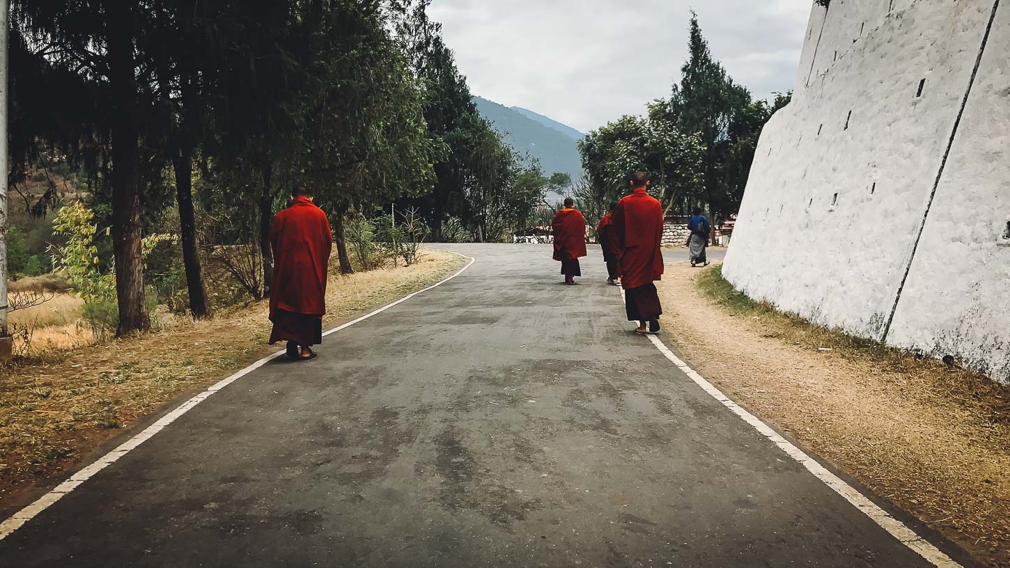
• The majority of departure dates include participation in parties, great opportunities to experience Bhutanese Buddhist culture
[route-map id=45066]
- Bhutan travel adviceby GOV.UK on 10/12/2025 at 1:09 pm
New information about dual nationals returning to the UK (‘Entry requirements’ page).
- An English speaking guide will guide you along the way, relying on a team of the local correspondents
- Airport Transfer
- Meals
- Day 1 DAY 1: DEPARTURE FROM EUROPE TO DELHI
- Day 2 DELHI ARRIVAL AND FLIGHT TO PARO
- Day 3 PARO REGION
- Day 4 FROM PARO TO THIMPHU
- Day 5 THIMPHU
- Day 6 FROM THIMPHU TO PUNAKHA
- Day 7 FROM PUNAKHA TO GANGTEY
- Day 8 FROM GANGTEY TO TRONGSA
- Day 9 FROM TRONGSA TO BUMTHANG Drive
- Day 10 BUMTHANG
- Day 11 BUMTHANG TO MONGAR
- Day 12 FROM MONGAR TO THE TASHIGANG REGION
- Day 13 FROM TASHIGANG TO SAMDRUP JONGKHAR
- Day 14 FROM SAMDRUP JONGKHAR TO GUWAHATI AND FLIGHT TO DELHI
- Day 15 ARRIVAL IN EUROPE
ACCOMMODATION
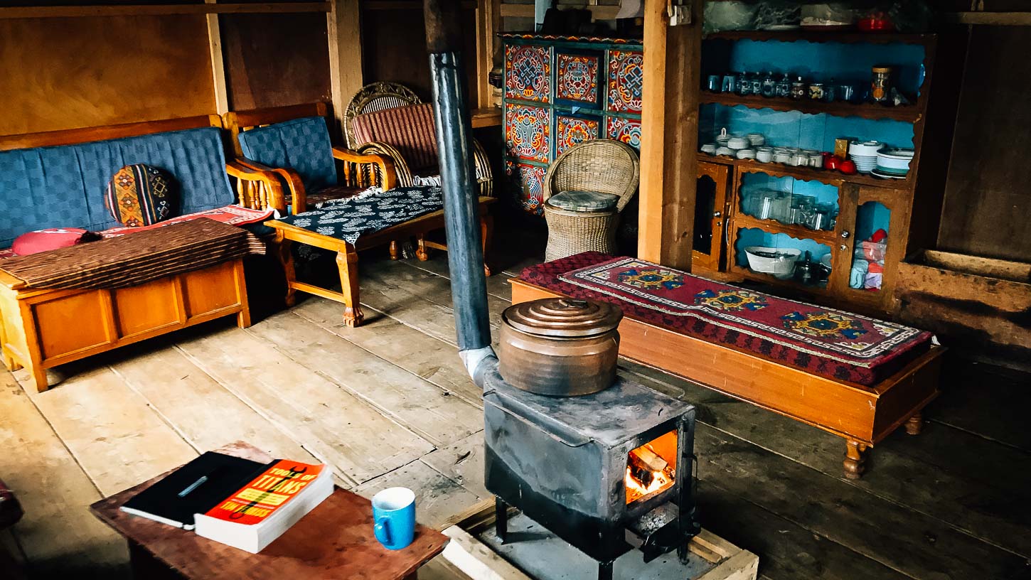
Nights in standard and middle-class hotels, and local inns.
MEALS
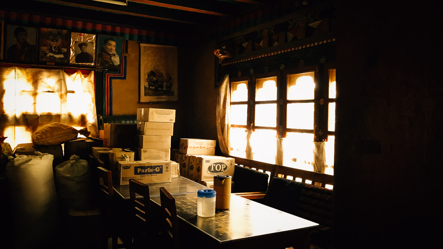
In towns and villages, many restaurants allow us to discover cuisines: Bhutanese and Indian. For lunch, it is sometimes taken as a picnic, but often hot.
Water: plan pellets (Micropur type or others) to disinfect the water you put in your bottle. You can also buy mineral water on site (not included in the price) or drink tea.
For your trip, plan 15 to 18 kg maximum, outside of your hand luggage, even if in most flights you will be entitled to 20 kg in the hold and 10 kg in the cabin. There is no point in being too busy and a little space is available to bring back memories. Attention, any extra and overweight bag will be charged directly by the airline during check-in. If you have domestic flights, check that there are no specific baggage restrictions. Finally, note that security checks have become very strict at airports: put the knives, scissors, nail files in your hold bag, the same for bottles and tubes of more than 100 ml.
– A large flexible travel bag (possibly with wheels) or backpack minimum 60 liters. This luggage must be resistant (use a cover if necessary). You can also protect your belongings from dust or moisture by storing them in one or more plastic bags inside your bag. Four or five covers (ventilated) of different sizes can compartmentalize your things in your bag, which is handy.
– A small backpack of about 35 liters for your personal belongings during the days or half-days of hiking. It will also serve you as hand luggage and cabin during air transport.
– A banana bag or a small cover, thin enough to be camouflaged under a jacket or T-shirt, can be convenient to put your personal papers, passport and insurance, credit card and some banknotes, prescriptions on medical treatments personal, etc.
Clothing
You need several layers to add or remove depending on the temperature and your activity. You’ll be able to wash some quick drying things on the way, including underwear and socks. For T-shirts, underwear and socks, plan to change 2-3 times a week if you do not wash anything on the way. In countries with insects, prefer dark colored clothes (but neither black nor dark blue).
– Waterproof and breathable jacket Gore-Tex® type – Sweater
or micro-fleece jacket, thinner
– Wool, fleece, down … (comfort for the evening)
– Technical T-shirts (avoid cotton, long to dry)
– Walking socks (in cotton, avoid synthetic and tennis socks that frequently produce blisters)
Shoes
– A pair of walking shoes, which you are used to (to avoid blisters) for hiking trails.
– A pair of lighter walking shoes, which will be useful for flights, transfers, site visits and evenings.
Yes, there are quite a lot!
– Your personal medication for the duration of the trip. Above all, if you follow a specific treatment, you must always take your prescriptions that you must always keep on you in case of control, for example when boarding the plane
– Anti-pain, fever: Ibuprofen
– Antibiotics: Pristinamycin (Pyostacine® 500 mg ) (2 boxes for 1 treatment of 8 days), Amoxicillin + Clavulanic acid (Augmentin®) 1g
– Analgesics: Paracetamol 500mg
– Corticosteroids: Solupred 20mg
– Antidiarrheals: Smecta (provide about ten sachets), Intetix (treatment of amoebias), Imodium
– Antivomic, gastric bandages: Volagene®, Phosphalugel® / Ulcar®, Dperidone, prinperan
– Antihistamines (for bites, urticaria …): Zyrtec®, Clarytine®, Phenergan®, Polaramine®
– Local antiseptics: Betadine, Biseptine
– Ointments: Niflugel®, Voltarene® (Anti-inflammatory), Arnigel (blows, bruises), Sunscreen
– Biafine
– Antimycosic powder (feet): Econazole, powder and ointment
– Eye drops: Antibiotics, Anti-irritation
– Set of adhesive plasters and some compresses
– “Double skin” dressings for ampoules
– Elastic adhesive tape (Elastoplast type)
The trip is ranked at easy level. Travel accessible to anyone in good physical condition, without particular difficulties. We still evolve at altitudes between 2000 and 4000 meters but with good acclimatization. Moral strength and adaptability are necessary, however, and some road trips can be quite long. The extension Sakteng / Merak trekking is on the other hand true trekking, so more engaged.
The sockets are generally multi-standard, possible for 2 round plugs and 2 flat plugs.
On the face of it, there is no need for a universal or US-specific adapter / US standard plug (2 flat plugs), but if you have one it might be useful.
But remember to bring a multi-plug, especially if you have several devices to recharge and you are two in the room.
AREA
Approximately 47 000 km 2, with a maximum altitude of 7 570 m (Gangkhar Puensum).
It measures about 300 km in its greatest east-west length and 170 km in the north-south direction.
GEOGRAPHY
Bhutan is located in the eastern part of the Himalayas, landlocked between India to the South, East and West, with which it shares 605 km of land borders, and China ( region autonomous Tibet ) to the North with 470 kms of borders. Its area is 46 500 Kms² and
The local name of the country, Brug-yul (often transcribed Druk Yul), means “Land of the Dragon”.
POPULATION
The population is 2,232,291, but the government has only 810,000 Bhutanese. This is because 40% of the population living in Bhutan is Nepali and the Bhutanese government does not recognize them as citizens. Bhutanese of Nepalese origin suffer cultural and ethnic discrimination to the point that certain professions are prohibited to them (administration, education, etc.).
SEASONS AND CLIMATE
Bhutan’s climate varies greatly from one region to another, depending on altitude and the influence of the monsoon, especially in the west of the country. The southern plains enjoy a subtropical climate. The central and southern Himalayan valleys are temperate, while the north is much colder, with eternal snow on the summits. Temperatures at Thimphu, at an altitude of 2200 meters, range from 15 to 26 ° C from June to September but drop to -4 ° C in January. In the south, the temperature rarely drops below 15 ° C and can reach 40 ° C in summer. Rainfall is very sparse in the north, with only 40 millimetres per year, mostly in the form of snow. The temperate regions of the centre receive an average of 1000 mm per year, while records of 7800 mm are recorded in the south.
The climate of southern Bhutan is tropical with a monsoon regime. The east of the country is warmer than the West. The central valleys of Punakha, Wangdiphodrang, Mongar, Tashigang and Lhuntse have a very cool semi-tropical climate in Winter, while Ha, Paro, Thimphu, Tongsa and Bumthang have a much harsher climate with snowfall in Winter. The north of the country is inhabited up to 5000 m. in summer. The climate is rough, with monsoon rains in summer and significant snowfall in winter blocking the passes leading to the central valleys.
From the end of February to the end of April, it is a warm period at medium altitude, the weather is generally clear in the morning and clouds form on the high peaks in the afternoon which sometimes causes storms.
The monsoon lasts from June to September.
Fall, from October to December is the clearest season and it is cold during high altitude treks.
In winter, snow blocks high altitude passes at more than 4,000 meters. and the weather is beautiful and cold.
Spring and autumn are the best times for trekking.
The temperatures are very variable, so it is necessary to provide clothing for all types of weather, with temperature differences that can range from -5 ° C. at + 35 ° c
POLITICAL REGIME / ECONOMY
Bhutan is an independent kingdom, but its foreign policy is in line with India, the great neighbouring state, which annexed the kingdom of Sikkim in 1975.
One of the particularities of Bhutan is its pursuit of happiness, through the improvement of its BNB (Gross National Happiness). Where the majority of governments rely on the value of the Gross National Product (GNP) to measure the level of wealth of citizens, Bhutan has substituted the BNB for measuring the level of happiness of its inhabitants.
This index is based on four dimensions, pillars of sustainable development, namely:
- Responsible growth and economic development
- Conservation and promotion of Bhutanese culture
- Safeguarding the environment
- Good governance
Please click the link for the latest health advice.