Mera Peak to Island Peak, the 6000 meters duo
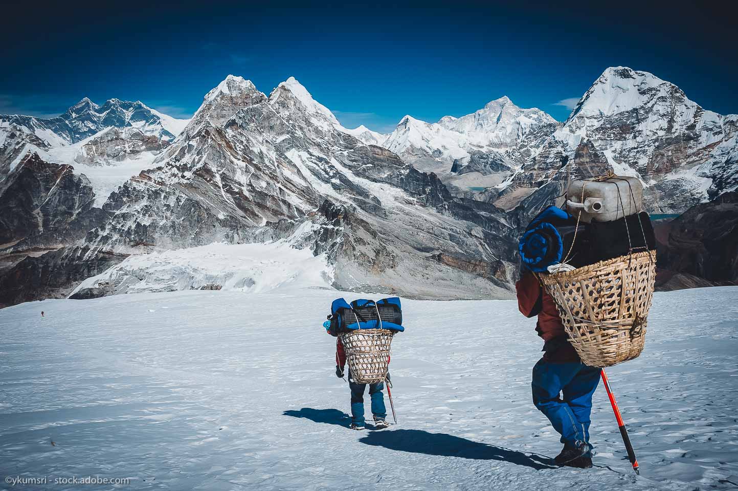
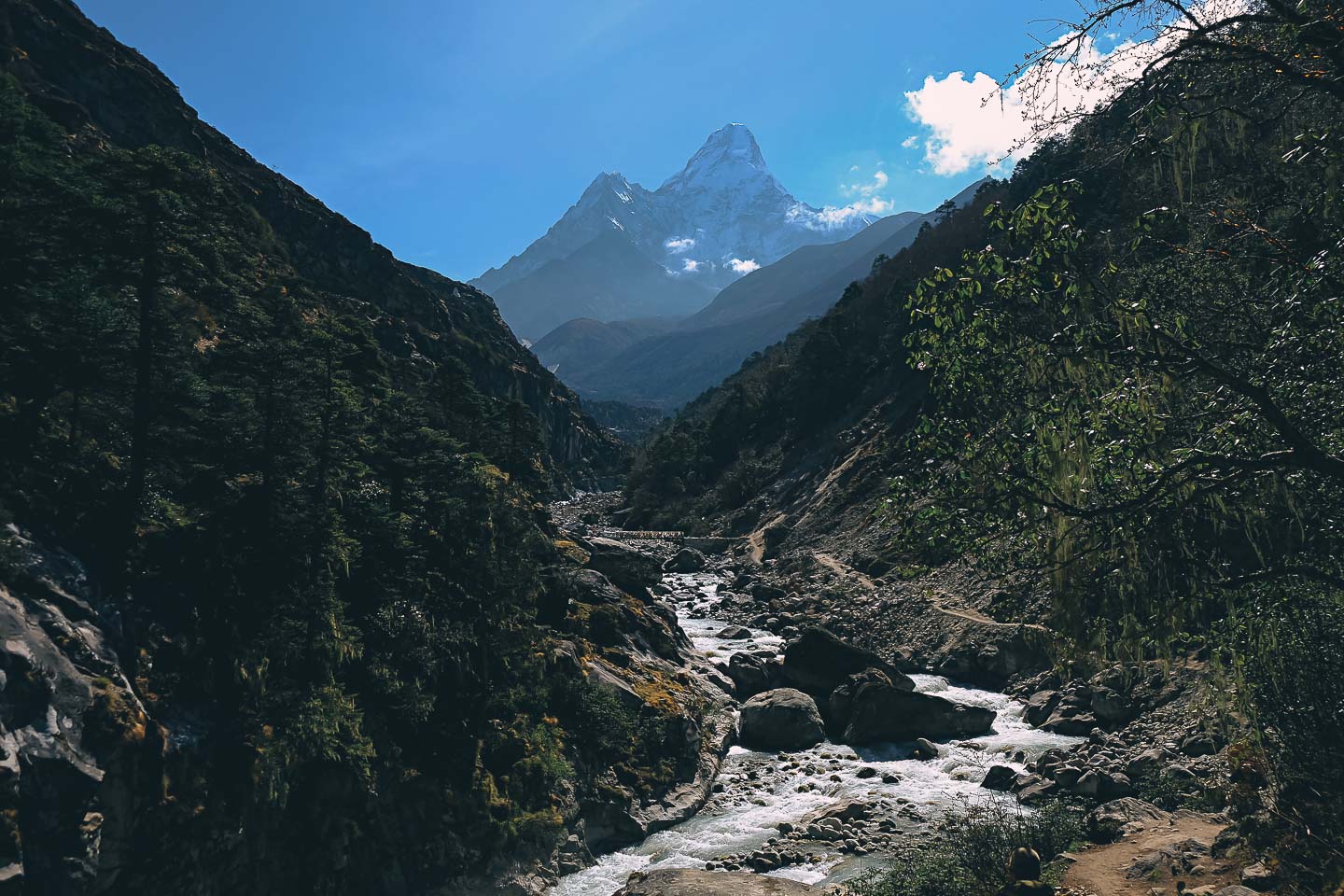
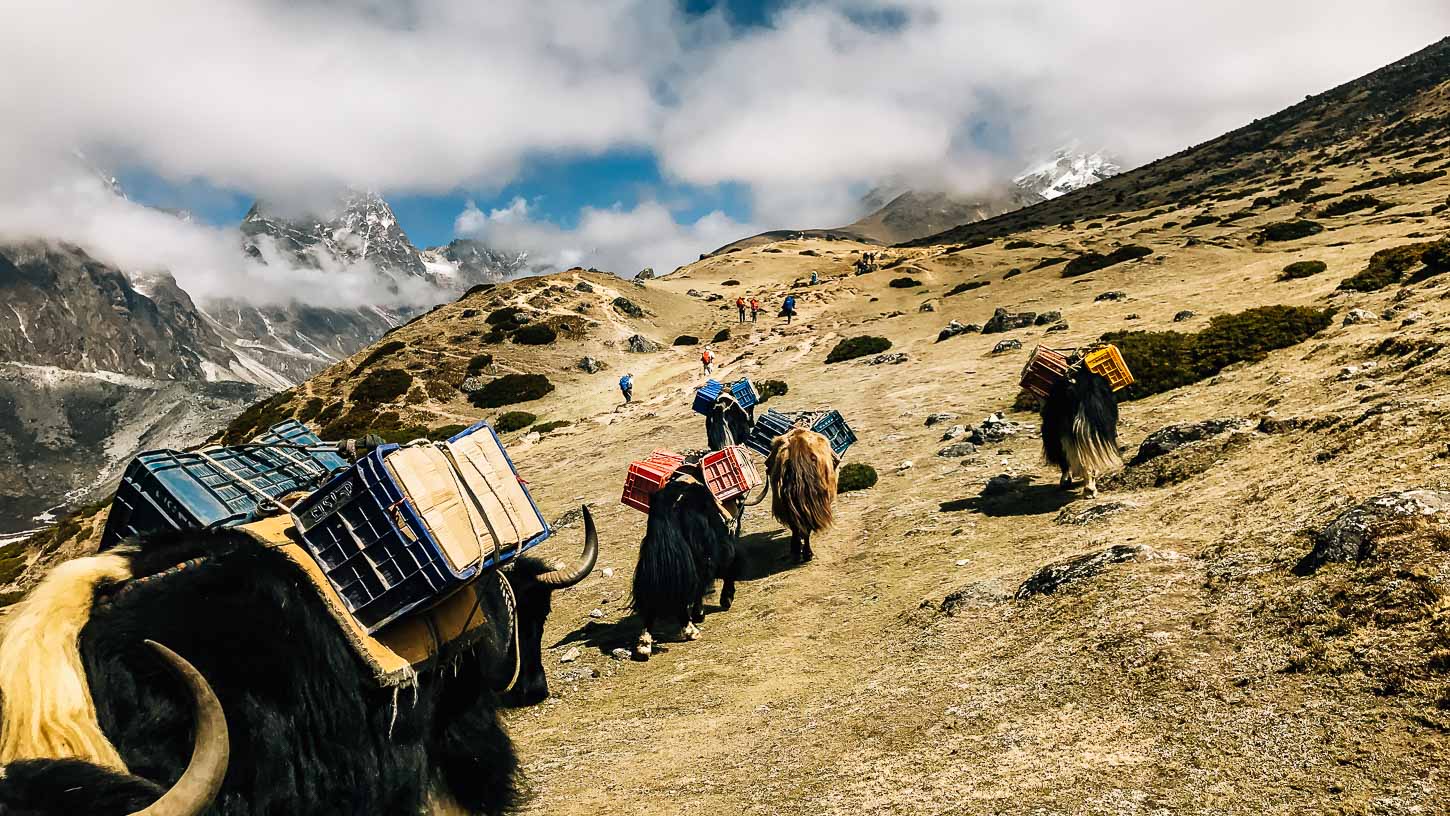
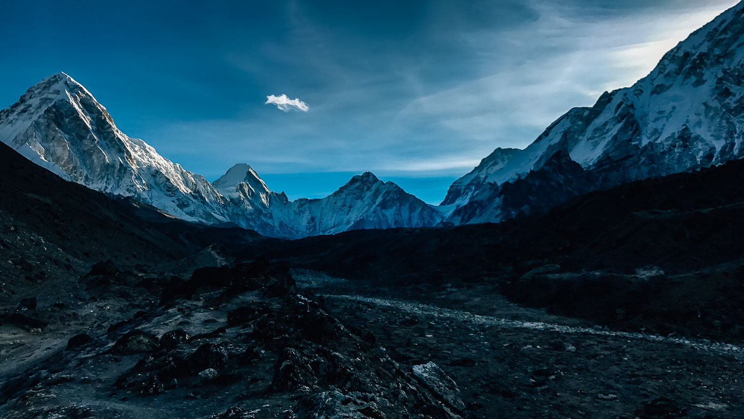
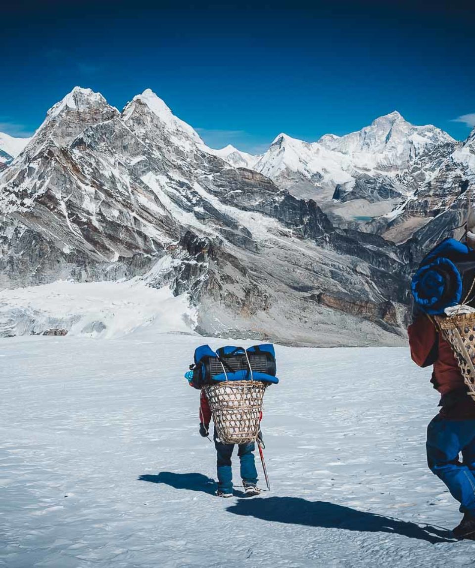
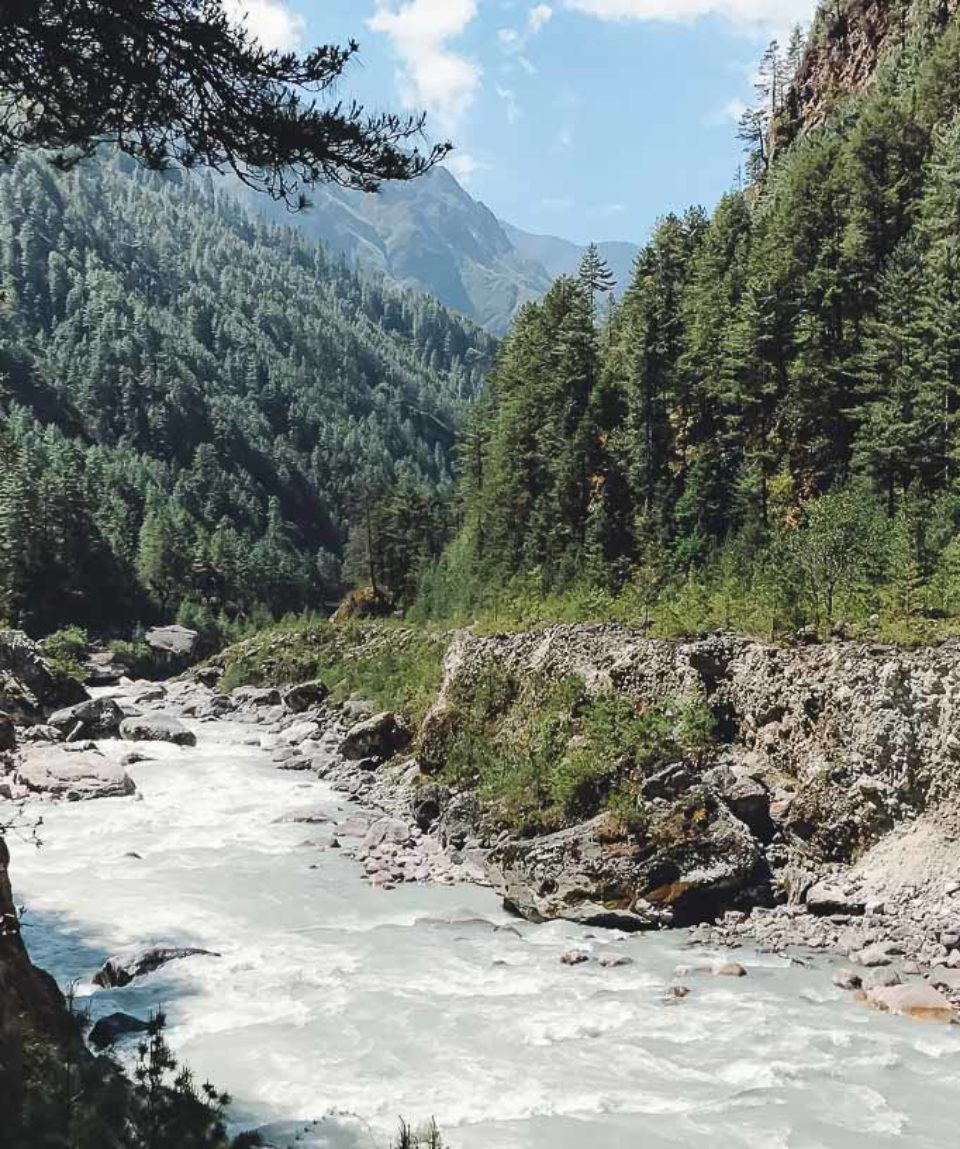
fromAfter arriving in Lukla, the starting point of our trek, we reach a valley located to the east of the Dudh Kosi. Here we get to see “the river of milk”. This river winds at the foot of some of the most beautiful mountains of Khumbu. The river also passes through the Kusum Kanguru and the Kangtega peaks. Then we arrive at the Col de Mera (5,415 m) with our objective as a backdrop: the Mera peak (6,476 m), the highest trekking peak in Nepal. The ascent does not present any difficulty; it is a snowy climb with moderate slopes. After passing the Amphu Lapsa pass (5,850 m), we climb the Island Peak (6,180 m) to end this altitude trip. A trip possible without making any climb as the course is beautiful. Discover Mera Peak and Island Peak in one single expedition with us now!
- Reviews 0 Reviews0/5
- Vacation Style Holiday Type
- Mountainous
- Nepal
- Secret Planet
- Trekking
-
- Activity Level Strenuous
- Group Size Medium Group
After arriving in Lukla, the starting point of our trek, we reach a valley located to the east of the Dudh Kosi. Here we get to see “the river of milk”. This river winds at the foot of some of the most beautiful mountains of Khumbu. The river also passes through the Kusum Kanguru and the Kangtega peaks. Then we arrive at the Col de Mera (5,415 m) with our objective as a backdrop: the Mera peak (6,476 m), the highest trekking peak in Nepal. The ascent does not present any difficulty; it is a snowy climb with moderate slopes. After passing the Amphu Lapsa pass (5,850 m), we climb the Island Peak (6,180 m) to end this altitude trip. A trip possible without making any climb as the course is beautiful. Discover Mera Peak and Island Peak in one single expedition with us now!
Highlights of this program:
- View of the highest peaks in the world
- 2 climbs over 6,000 m in one trip
- The pass of L’Amphu Lapsa at 5,850 m
- Everest, Lhotse, Cho Oyu, Makalu and Kangchenjunga in one trip!
- Nepal travel adviceby GOV.UK on 19/03/2026 at 2:04 pm
Updated information about global travel impacts due to escalation in the Middle East (‘Warnings and insurance’ page).
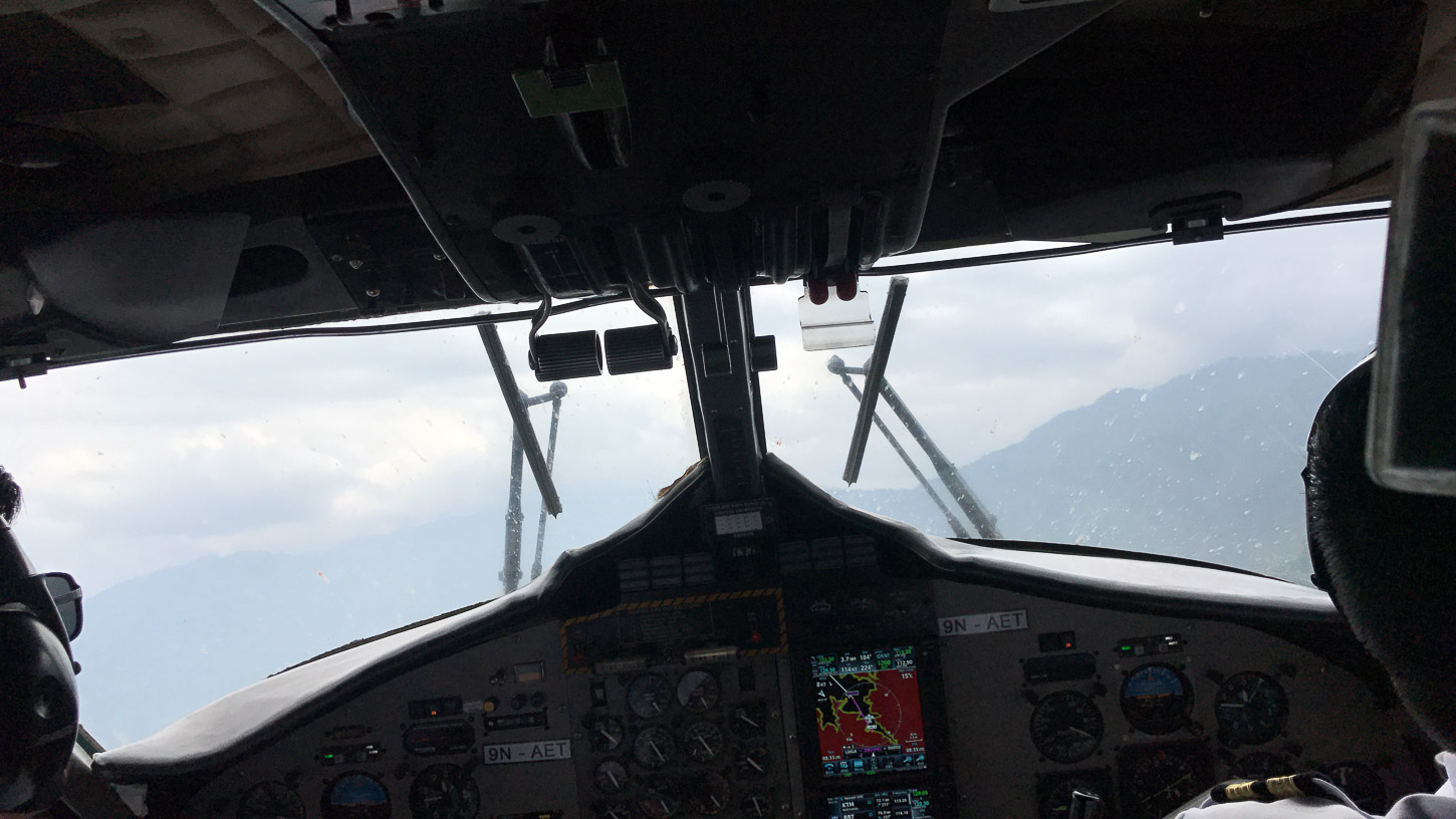
- DAYS 1 & 2 EUROPE - KATHMANDU
- DAY 3 KATHMANDU - LUKLA 2 800 M - CHUTANGA
- DAY 4 CHUTANGA - ZATR OG (4,480 M) - ZATRWA LA (4,570 M) - THULI KHARKA
- DAY 5 THULI KHARKA - KHOTE
- DAY 6 KHOTE - THANGNAG
- DAY 7 THANGNAG - A / R THANGNAG RI (~ 5,000 M)
- DAY 8 THANGNAG - KHARE
- DAY 9 KHARE - MERA LA CROSSING (5,415 M) - MERA LA BASE CAMP (MBC)
- DAY 10 MERA LA BASE CAMP - MERA PEAK HIGH CAMP
- DAY 11 HIGH CAMP - ASCENSION MERA PEAK (6,461 M) - BASE CAMP OF MERA LA
- DAY 12 BASE CAMP OF MERA LA - KONGME DINGMA - SETO POKHARI
- DAY 13 SETO POKHARI - PANCH POKHARI - FOOT OF AMPHU LAPSA
- DAY 14 FOOT OF AMPHU LAPSA - AMPHU LAPSA 5 775 M - CHUKHUNG
- DAYS 15 & 16 CHUKHUNG - OPTIONAL ASCENSION OF ISLAND PEAK (6,189 M)
- DAY 17 CHUKHUNG - KONGMA LA - LOBUCHE
- DAYS 18 TO 20 DESCENT TO LUKLA
- DAY 21 LUKLA - KATHMANDU FLIGHT
- DAY 22 KATHMANDU
- DAY 23 KATHMANDU - INTERNATIONAL FLIGHT
- DAY 24 ARRIVAL IN EUROPE
Accommodation
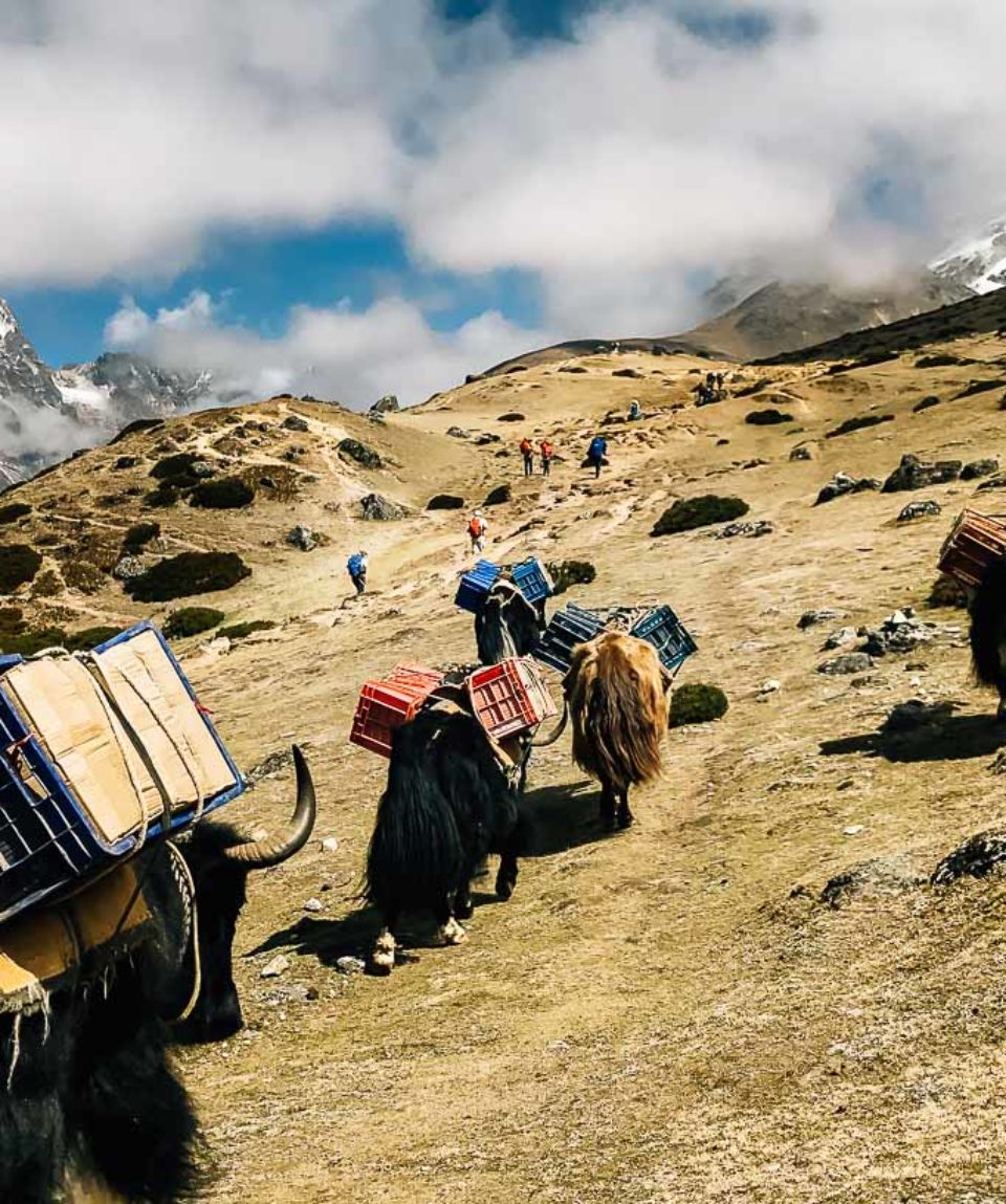
In a standard category hotel in Kathmandu and Pokhara, during the rest of the trip in tents (3-person tents for 2 people) or in lodge depending on the trip. The lodges in Nepal have adequate comfort. In general, conditions are pretty good on the Annapurna tour and the Everest region. On the other hand, in Mustang, in the Tsum valley and in the Kangch or Makalu region, they can be very rudimentary to the point of being a dormitory sometimes even a kitchen. The lodges in some cases can look like a refuge or sometimes a cottage. It is mostly a family home with double, triple or dormitory rooms. The toilets and showers are always separate. It is important to check that the water is not heated with wood, as this contributes to deforestation. Most of the time, the water is heated with solar energy.
Meals
In the cities, many restaurants allow us to discover the typical local cuisine. Meat is scarce in the region as Nepalese are generally vegetarians. The basic ingredients are rice, pasta, lentils, potatoes, vegetables. Snacks are included during the trek (cereal bars, dried fruit, etc.).
For tent accommodation: during the trek, breakfasts and evening meals are prepared by the kitchen team. They are taken in the mess tent. Depending on the profile of the stages (length of the walking day and/or presence of water), midday snacks will be served hot or cold in the form of picnics.
For lodge accommodation: meals are prepared by the chefs of the lodge and are taken to the lodge’s dining room. Here is a typical menu for a day:
- breakfast: eggs, toast or chapati, or Tibetan bread or pancakes, or pancakes, butter/jam, tea or coffee,
- lunch: a main course, tea or coffee,
- dinner: soup, main course, fruit (fresh or canned), tea or coffee.
During the trek, tea or coffee is served with meals. Two cups per person are included.
Apart from these, other drinks and food will be at your expense
Water: provide tablets (Hydroclovazone, Micropur or other) to disinfect the water you put in your bottle, depending on the source and on the advice of your guide. It is sometimes possible to buy purified water. You can also buy mineral water in cities (not included in the price) but its ecological impact is high, therefore, we do not recommend it.
CLOTHING
You need several layers to add or remove depending on the temperature and your activity. You’ll be able to wash some quick-drying things on the way, including underwear and socks. The following is the recommended list of clothing
- Gore-Tex® waterproof and breathable jacket
- Poncho or rain cape
- Micro-fleece sweater or jacket, finer
- Technical and/or short-sleeved T-shirts (avoid cotton, long to dry)
- Lightweight trousers canvas
- Zip trousers, cropped trousers or Bermuda shorts
- Walking socks
- Underwear
- Swimsuit
- Hat, cap or headband to protect from the sun
SHOES
- A pair of walking shoes, which you are used to (to avoid blisters) for hiking trails.
- A pair of lighter walking shoes, which will be useful for flights, transfers, site visits and evenings.
- Pair of flip-flops, sandals or Crocs® type for the toilet
TRANSPORT BAGS AND STORAGE
- A large flexible travel bag (possibly with wheels) or backpack minimum of 60 litres. This luggage must be resistant (use a cover if necessary). You can also protect your belongings from dust or moisture by storing them in one or more plastic bags inside your bag. Four or five covers (ventilated) of different sizes can compartmentalize your things in your bag, which is handy.
- A small backpack of about 35 litres for your personal belongings during the days or half-days of hiking. It will also serve you as hand luggage and cabin during air transport.
There are several items that are highly recommended for you to have. The items are;
- 2-litre bottle and tablets to disinfect water – Pocket knife type Opinel® or Laguiole® and/or a “Swiss army knife” multi-use, to put in the baggage recorded in the hold
- Headlamp type Petzl® + spare batteries
- Hand-charging torch (more eco-friendly and economical)
- Headlamp with red light for nature observation + spare battery
- Good quality sunglasses
- Sunscreen (high index) + lip balm.
- Pair of binoculars to observe the beauty of nature (optional).
- Camera(optional). Remember to protect it from dust and moisture (in a zippable plastic bag with Silicagel bag for example).
- A power adapter to recharge the batteries
- Colour photocopy of the passport facilitates administrative procedures in case of loss or theft (not to be kept in the same place as the passport!). Always in case of loss or theft of the passport, having aside two pictures of identities can be of great service.
Please follow the link for the latest health advice